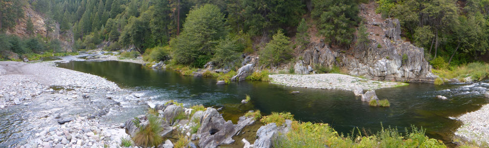
Upper Feather River IRWM Region
For a downloadable 11×17 PDF of the UFR IRWM base map click here
DWR Disadvantaged Communities
Under DWR’s Proposition 84 and 1E IRWM Guidelines, dated August, 2010, census-designated places that have a median household income (MHI) of less than $48,706 (80% of the Statewide MHI), are designated as “disadvantaged communities” (DACs). These areas qualify for special consideration in the regional water management planning process. Communities meeting this criteria are identified on the DWR GIS Mapping Tool.
Upper Feather River Watershed Google Earth Data
 Google Earth is a free software application for sharing, exploring and creating geospatial data. It includes many standard layers including, 3D terrain data, aerial imagery, county & city boundaries, roads, recreation sites, place names, waterbodies. The Upper Feather River IRWM KMZ contains UFR specific geospatial data for water district boundaries, water conveyance facilities, land use, hydropower facilities, IRWM planning boundaries, USGS watershed boundaries, water quality sampling locations, stream gage locations, FEMA flood hazard data, disadvantaged communities, and the location of all the resources in the UFR document catalog. Click the link here, Upper Feather River IRWM KMZ, to download the KMZ. Once downloaded it can be opened in Google Earth. If you do not already have Google Earth installed on your computer follow this link, Google Earth Pro, to download. (note: Google Earth Pro requires a license key use your email address and the license key GEPFREE to sign in.)
Uplands & Forest Management Workgroup Maps
Click on map for larger version

Large Land Managers
Full Resolution PDF

Fuel Reduction
Full Resolution PDF

Annual Precipitation
Full Resolution PDF

Fire Hazard Severity
Full Resolution PDF

Fire History
Full Resolution PDF

Fire Threat
Full Resolution PDF

Snow Zones
Full Resolution PDF

Fire Regime
Full Resolution PDF

Fire Condition Class
full resolution PDF