UFR Cooperative LiDAR and GIS Support Program
Description
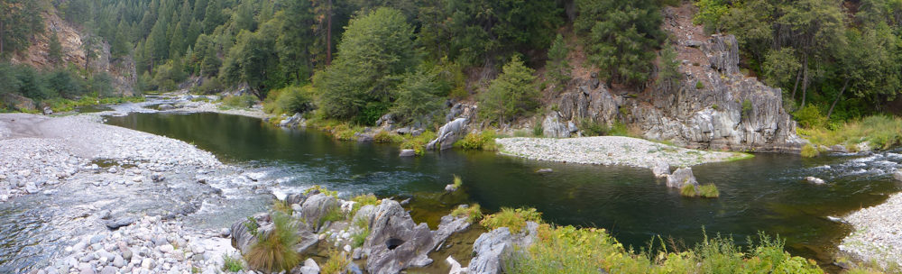
LiDAR scans the landscape and provides highly accurate information on the terrain and vegetation. The attached examples use LiDAR technology to characterize topography and vegetation for areas around Clio; in Eastern Plumas County. Such data exists for portions of the watershed; but more complete coverage is needed.
LiDAR data has been captured for portions of the UFR Region (including the Moonlight and Storrie Fire areas; Meadow Valley and Mohawk Valley). This project will be a collaborative effort between the US Forest Service; Plumas County; and other IRWM signatories to fund acquisition of LiDAR topography data for the remainder of the Upper Feather River Watershed.
This project will directly support mapping and project-design for a large number of other currently-proposed IRWM projects; and each project could potentially contribute a small portion of their budget to an overall mapping budget for the entire UFR Region.
Sponsoring Agency
Plumas County
Primary Contact
Randy Wilson
Contact Email
randywilson@countyofplumas.com
Project Number
FMW-7
Matching Funds
TBD
Total Cost
$2.05M-$2.55M
DAC Benefit
No
Supplemental Information
LiDAR provides highly detailed elevation mapping which can be used for floodplain delineation.
DWR Resource Management Strategies
Agricultural Water Use Efficiency, Conveyance - regional/local, Economic incentives, Ecosystem restoration, Flood management, Forest management, Land use planning and management, Outreach and engagement, Recharge area protection, Sediment management, Urban storm water runoff management, Urban water use efficiency, Water and culture, Water-dependent recreation, Watershed management
Project Objectives
Address water resources and wastewater needs of DACs and Native Americans, Build communication and collaboration among water resources stakeholders, Continue to actively engage in FERC relicensing within the Region, Coordinate management of recharge areas and protect groundwater, Effectively address climate change adaptation and/or mitigation in water resources management, Improve coordination of land use and water resources planning, Improve efficiency and reliability of water supply and infrastructure, Maximize agricultural, environmental, and municipal water use efficiency, Protect, restore, and enhance the quality of surface and groundwater resources, Reduce potential for catastrophic wildland fires in the region, Restore natural hydrologic functions, Work with counties/communities/groups to maintain capacity for water-related projects, Work with DWR to develop strategies and actions for the operation of SWP facilities
Project Status
TBD
Potential Benefits
Assist the region in adapting to effects of climate change, Disadvantaged Communities, Environmental Justice, Generation or reduction of greenhouse gas emissions (e.g. green technology), Native American Tribal Communities
Project Owner
deercreekgisWebsite
To the owner of UFR Cooperative LiDAR and GIS Support Program
1 resource
- UF-13 1 file Added 27 Aug 2016 UFR cooperative LiDAR and GIS support program